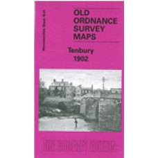
Worcestershire Sheet 19.01 Tenbury 1902 - published 2004; introduction by Barrie Trinder
This detailed map is split between Worcestershire and Shropshire. Coverage stretches from Burford House eastward to Kyrewood House, and northward to Spurtree.
Features include the town centre of Tenbury with all buildings neatly shown, Cross Street, Market Street, Teme Street, The Court, St Mary's church, Workhouse, Kyrewood House, Goff's Free School, Berrington House, Teme Bridge, etc. The River Teme runs across the map. On the Shropshire side features include railway with Tenbury station, Swan Hotel, St Mary's Cottage Hospital, Dean Park, part of Burford parish, Old School House, Rose & Crown inn, Bank Farm, Burford House, St Mary's church Burford, Lockyers etc. We also include a commercial directory for Tenbury plus a 1906 railway timetable for the Bewdley-Tenbury-Woofferton line.
Tenbury 1902 - Old Ordnance Survey Maps - The Godfrey Edition
- Brand: Alan Godfrey Maps
- Product Code: Wo19.01
- Availability: 2
-
£3.50
Tags: tenbury

