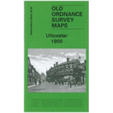
Staffordshire Sheet 32.02 Uttoxeter 1900 - published 2008; introduction by Barrie Trinder
This detailed map covers the Staffordshire town of Uttoxeter. The town centre is shown, with individual buildings neatly delineated, and coverage extends northward to The Heath and The Wharf, westward to Oldfields Hall, southward to Balance Hill. Features include railways and station, Ash Lea, cemetery, Leighton Iron Works, Market Place, St Mary's church, Cattle Market, Mount Pleasant, brewery, Manor House, The Hall, Carter Street, Cheese Factory, Park Place, Workhouse, Moorhouse Farm etc. On the reverse we also include a commercial directory for the town in 1912.
Uttoxeter 1900 - Old Ordnance Survey Maps - The Godfrey Edition
- Brand: Alan Godfrey Maps
- Product Code: St32.02
- Availability: 2
-
£3.50
Related Products
Uttoxeter and Tamworth Districts - 1851 census Surname index Volume 8 and 10
Surname index 1851 census Staffordshire Volume 8 & 10 Uttoxeter and Tamworth Districts..
£1.50 £3.00
Kelly's Directory Of Staffordshire (1916) - Download
Note - Once you have paid, your order will be passed to Midland Historical Data who will send you a ..
£13.99
Tags: uttoxeter


