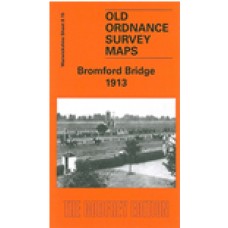
Warwickshire Sheet 8.15 Bromford Bridge 1913 - published 2004; introduction by Roger Lea
This detailed map covers an area on the NE side of Birmingham which was still largely undeveloped in 1913. The main feature is Birmingham Race Course, where features even include the jumps and winning post. Other features include part of Castle Bromwich Golf Course, Bromford with a few streets partly laid out, Ashold Sewage Farm, Eversley House, Midland Railway with Bromford Bridge station, Hope House. We include a directory of Castle Bromwich on the reverse.
Bromford Bridge 1913 - Old Ordnance Survey Maps - The Godfrey Edition
- Brand: Alan Godfrey Maps
- Product Code: Wk08.15
- Availability: 3
-
£3.50
Related Products
Gravelly Hill 1902 - Old Ordnance Survey Maps - The Godfrey Edition
Warwickshire Sheet 8.14 Gravelly Hill 1902 - published 2001; introduction by Alan Godfrey This de..
£3.50
Gravelly Hill 1886 Coloured - Old Ordnance Survey Maps - The Godfrey Edition
Warwicks 8.14a Gravelly Hill 1886 - published 2017; intro by Barrie Trinder. ISBN.978-1-78721-034-9&..
£4.00
Gravelly Hill 1913 - Old Ordnance Survey Maps - The Godfrey Edition
Here are the details of maps for Gravelly Hill:Warwicks 8.14a Gravelly Hill 1886 - published 2017; i..
£3.50
Tags: bromford bridge


