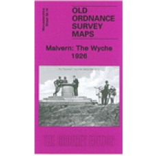
Worcestershire Sheet 39.16 Malvern: The Wyche 1926 - published 2010; introduction by Malcolm Nixon
This detailed map covers part of Great Malvern, with the northern tip of Malvern Wells. Coverage runs from the Worcestershire Beacon southward to Upper Wyche. Please note that the Herefordshire area is left blank on this edition.
Features include Lower Wyche and Upper Wyche, All Saints church, Railway Inn, quarries, gold mine, Royal Well Mineral Water Works, Worcestershire Beacon, Firs Valley, Malvern Common, The Firs, Emmanuel Church, Hampton House, Mathon Lodge.
Malvern: The Wyche 1926 - Old Ordnance Survey Maps - The Godfrey Edition
- Brand: Alan Godfrey Maps
- Product Code: Wo39.16
- Availability: 2
-
£3.50
Related Products
Great Malvern and West Malvern 1926 - Old Ordnance Survey Maps - The Godfrey Edition
Worcestershire Sheet 39.12 Great Malvern & West Malvern 1926 - published 2004; introdu..
£3.50
Malvern Wells 1903 - Old Ordnance Survey Maps - The Godfrey Edition
Worcestershire Sheet 46.04 Malvern Wells 1903 - published 1988; introduction by John Maddi..
£3.50
Tags: malvern


