Birmingham maps c.1888 - Download

NEW 2023 Edition searchable Index complete with an 'ACTIVE GRID' that takes you direct to the map in the shop
Best viewed in Adobe Acrobat Reader
All Midland Ancestors Maps are now available for download
Birmingham c.1888 street maps - detailed to individual house level
Click here to download an index to the maps
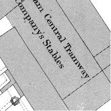
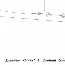
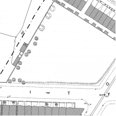
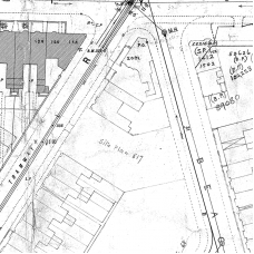
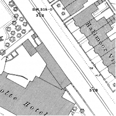
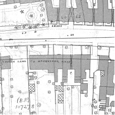
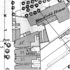
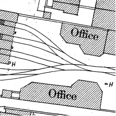
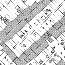
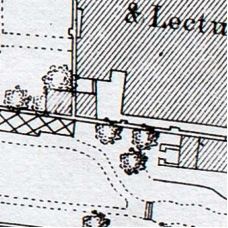
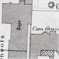
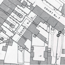
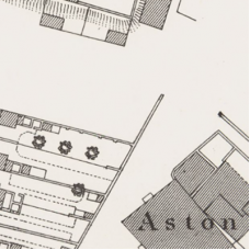
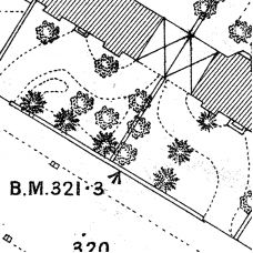
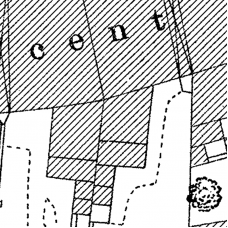
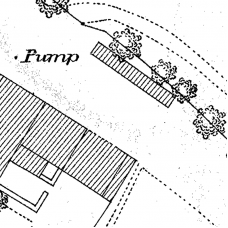
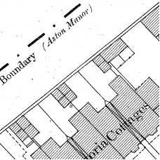
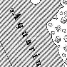
Midland Ancestors was given about 400 very detailed street maps of Birmingham and its surroundings that were surveyed by The Ordnance Survey around 1887-1888. Each map covers an area of about 500 yards by 350 yards, and the scale of 1:500 is such that pillar boxes, lamp posts and garden details can be clearly seen. When linked to addresses in censuses and in other records, you can begin to build a picture of the circumstances in which your ancestors lived.
Digitisation is completed and all of the physical maps have been sold. The maps cover mostly the Warwickshire parts of the city. We do not have many maps for the Worcestershire and Staffordshire parts of the city. The whole area can be described as bounded by Perry Barr to the North, Small Heath to the East, Moseley to the South and Bearwood to the West.
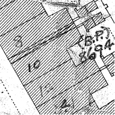
Often there are two images of each map, one copy in very good condition and another ”working copy” ('A' suffix) that has been marked up by hand, occasionally showing house numbers – an invaluable asset for family historians with census records, or access to contemporary street directories.
Where we have a “clean” and a ”working copy” ('A' suffix) of a particular map image, you only need to order one map, as both will be provided at no extra cost.
Click here to download an index to the maps, (we suggest you right click on link on left and "save link as" to your computer and use Adobe reader to view) you can then find and order the map you want and once you have paid, the map will be available to download.
Be aware that long roads and streets could be covered by three, four or more maps.
The maps, which take the form of Adobe Reader files (.PDF).
Birmingham Ordnance Survey map VIII.13.11 - Download
Birmingham Ordnance Survey map VIII.13.11 Main Streets – Birchfield Road, Church Hill Road, C..
£5.00
Birmingham Ordnance Survey map VIII.13.12 - Download
Birmingham Ordnance Survey map VIII.13.12 Main Streets – Arden Road, Hampton Road, Birchfield ..
£5.00
Birmingham Ordnance Survey map VIII.13.13 & 13A - Download
Birmingham Ordnance Survey map VIII.13.13 & 13A Main Streets – Bevington Road, Fentham Ro..
£5.00
Birmingham Ordnance Survey map VIII.13.13A - Download
Birmingham Ordnance Survey map VIII.13.13A Main Streets – Bevington Road, Beacon Hill, Endic..
£5.00
Birmingham Ordnance Survey map VIII.13.14 - Download
Birmingham Ordnance Survey map VIII.13.14 Main Streets – Holte Road, Trinity Road, Witto..
£5.00
Birmingham Ordnance Survey map VIII.13.15 - Download
Birmingham Ordnance Survey map VIII.13.15 Main Streets – Aston Lane (HN), Church Lane, G..
£5.00
Birmingham Ordnance Survey map VIII.13.16 - Download
Birmingham Ordnance Survey map VIII.13.16 Main Streets – Archibald Road (HN), Benne..
£5.00
Birmingham Ordnance Survey map VIII.13.17 - Download
Birmingham Ordnance Survey map VIII.13.17 Main Streets – Albert Road, Birchfield R..
£5.00
Birmingham Ordnance Survey map VIII.13.2 - Download
Birmingham Ordnance Survey map VIII.13.2 Main Streets – Aston Lane, Birchfield Road, Li..
£5.00
Birmingham Ordnance Survey map VIII.13.20 - Download
Birmingham Ordnance Survey map VIII.13.20 Main Streets – Alfred Street, Beal's Street, B..
£5.00
Birmingham Ordnance Survey map VIII.13.21 - Download
Birmingham Ordnance Survey map VIII.13.21 Main Streets – Archibald Road, Berners St..
£5.00
Birmingham Ordnance Survey map VIII.13.22 - Download
Birmingham Ordnance Survey map VIII.13.22 Main Streets – Alma Street, Birchfield Roa..
£5.00
Birmingham Ordnance Survey map VIII.13.23 - Download
Birmingham Ordnance Survey map VIII.13.23 Main Streets – Albert Road, Bartons Bank..
£5.00
Birmingham Ordnance Survey map VIII.13.24 - Download
Birmingham Ordnance Survey map VIII.13.24 Main Streets – Albert Road, Bevington Road, C..
£5.00
Birmingham Ordnance Survey map VIII.13.3 - Download
Birmingham Ordnance Survey map VIII.13.3 Main Streets – Aston Lane (HN)Places – Aston Lower G..
£5.00
Birmingham Ordnance Survey map VIII.13.4 - Download
Birmingham Ordnance Survey map VIII.13.4 Main Streets – Aston Lane (HN), Holdford Road (not m..
£5.00
Birmingham Ordnance Survey map VIII.13.6 - Download
Birmingham Ordnance Survey map VIII.13.6 Main Streets – Birchfield Road, Charles Road, Charl..
£5.00
Birmingham Ordnance Survey map VIII.13.7 - Download
Birmingham Ordnance Survey map VIII.13.7 Main Streets – Birchfield Road (HN)Places – Cambrid..
£5.00
Birmingham Ordnance Survey map VIII.13.8 - Download
Birmingham Ordnance Survey map VIII.13.8 Main Streets – Bevington Road, Witton Road,Places –..
£5.00
Birmingham Ordnance Survey map VIII.13.9 & 9A - Download
Birmingham Ordnance Survey map VIII.13.9 & 9A Main Streets – Holte Road, Manor Road, Sta..
£5.00

