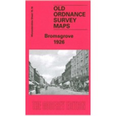
Worcestershire Sheet 15.16 Bromsgrove 1926 - published 2004; introduction by Malcolm Nixon
This detailed map covers most of the town of Bromsgrove, which stretches along the Worcester-Birmingham Road. Coverage stretches from Highfield Road northward to the Churchfields area.
Features include Bromsgrove School, St John the Baptist church, Cemetery, Fordhouse Farm, Warwick Hall, Moat Mill (disused), St Peter's RC Chapel, Watt Close School, button manufactory, Bromsgrove Guild, Stoney Hill area, Churchfields area, Blackmore Mill, Hill Top area, Whitford Hall, Whitford Mill, etc. Note the map does NOT include the railway. On the reverse we include the commercial entries from a 1896 directory.
Bromsgrove 1926 - Old Ordnance Survey Maps - The Godfrey Edition
- Brand: Alan Godfrey Maps
- Product Code: Wo15.16
- Availability: 2
-
£3.50
Related Products
Bromsgrove, St John the Baptist, Worcestershire Parish Registers plus other miscellaneous files. Indexed (download)
Bromsgrove;St John the Baptist; Parish Register & Monumental InscriptionsSt Peter RC Monume..
£20.00
Tags: bromsgrove


