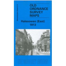
Worcestershire Sheet 5.13 Halesowen (East) 1913 - published 1999; introduction by John Maddison
This detailed map covers the eastern part of Halesowen, with coverage extending eastward to Lapal Farm and Carter's Lane.
Features include Halesowen & Northfield railway with Halesowen station, Dudley Canal, Heywood Bridge, Hagley Street and Cornbow area of Halesowen town, The Grange, St Mary's Abbey, Furnace Hill, Lapal House, The Leasows, Webb's Green. On the reverse we include a list of private residents for Halesowen in 1896, plus a railway timetable for the Halesowen-Rubery line.
Halesowen (East) 1913 - Old Ordnance Survey Maps - The Godfrey Edition
- Brand: Alan Godfrey Maps
- Product Code: Wo05.13
- Availability: 2
-
£3.50
Related Products
Coombeswood 1914 - Old Ordnance Survey Maps - The Godfrey Edition
Worcestershire Sheet 5.09 Coombeswood 1914 - published 1998; introduction by Angus Dunphy ..
£3.50
Cradley (South) 1901 - Old Ordnance Survey Maps - The Godfrey Edition
Worcestershire Sheet 4.12 Cradley (South) 1901 - published 2001; introduction by Angus Dun..
£3.50
Halesowen (West) 1914 - Old Ordnance Survey Maps - The Godfrey Edition
Here are the details of maps for Halesowen (W):Worcestershire 4.16 Halesowen (West) 1901 - published..
£3.50
Tags: halesowen


