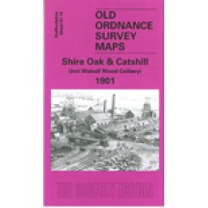
Staffordshire Sheet 57.12 Shire Oak & Catshill 1901 - published 2005; introduction by Cath Yates
This detailed map covers the area around Shire Oak, NE of Walsall. Although no towns are shown, the map is quite busy with railways and other features. These include Walsall Wood Colliery, a stretch of the Midland Railway Walsall Wood Extension, Clayhanger, Catshill, Wyrley & Essington Canal plus Daw End Branch, Shireoak Hill, Shireoak Farm, brewery, brick works etc. On the reverse we include directories of Walsall Wood, Shire Oak and Brownhills.
Shire Oak and Catshill 1901 - Old Ordnance Survey Maps - The Godfrey Edition
- Brand: Alan Godfrey Maps
- Product Code: St57.12
- Availability: 2
-
£3.50
Related Products
Brownhills and Ogley Hay 1901 - Old Ordnance Survey Maps - The Godfrey Edition
Staffordshire Sheet 57.08 Brownhills & Ogley Hay 1901 - published 2002; introduction b..
£3.50
Pelsall (North) 1883 - Old Ordnance Survey Maps - The Godfrey Edition
Staffordshire Sheet 57.11 Pelsall (North) 1883 - published 1995; introduction by A Tomkins..
£3.50
Walsall Wood 1901 - Old Ordnance Survey Maps - The Godfrey Edition
Staffordshire Sheet 57.16 Walsall Wood 1901 - published 2008; introduction by Malcolm Nixo..
£3.50


