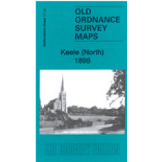
Staffordshire Sheet 17.02 Keele (North) 1898 - published 2023; intro by Barrie Trinder. ISBN.978-1-78721'601-3
This detailed map covers the northern part of Keele with coverage extending northward to Finney Green, Silverdale Tileries, Silverdale Farm, and Haying Wood. Featurs include St John's church, Top Farm, NSR Market Drayton line with Keele station, part of Audley Branch etc
The map links up with Staffordshire Sheets 17.03 Silverdale to the east.
Keele (North) 1898 - Old Ordnance Survey Maps - The Godfrey Edition
- Brand: Alan Godfrey Maps
- Product Code: St17.02
- Availability: 2
-
£3.50
Related Products
Keele, St. John The Baptist Church - Monumental Inscriptions - Download
Monumental Inscriptions Keele, St. John The Baptist Church There are 2 downloadable pdf files ..
£2.50
Keele St.John Parish register transcripts - Baptisms 1540-1700, Marriages 1540-1700, Burials 1699 Only (download)
Keele St.John Baptisms 1540-1700, Marriages 1540-1700, Burials 1699 Only This is a downloadabl..
£4.00
Tags: Keele


