
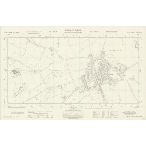
Ordnance Survey map plans 1:2500 scale
We have acquired a large set of Ordnance Survey maps, scale 1:2500, dates in the 1960's, non Staffordshire and Cheshire Counties
Loads of maps will appear here soon, but please contact us if you are looking for a specific map(s) and we will check stock.
We have listed the maps by Plan reference, if you want to check what the map covers, please go to the National Library of Scotland https://maps.nls.uk/os/national-grid/sj-sk.html where you can view the actual map.
Any damage to the maps is described in the Plan reference detail. Maps will have a code as a general guide to condition...
Poor - Creases/tears, or parts of map missing
G - Good, may have some small tears or creases to edges, also some maps have an additional reference written in red top left corner
VG - Very Good condition
EG - Extremely Good condition, almost as new
There is a single charge of £6.70 for UK delivery regardless of how many maps you order. Maps will be rolled and delivered in a strong cardboard tube 2nd class Royal Mail. Note UK delivery only.
You can opt to collect the maps from the shop address in Dickens Heath, Solihull, this is a private house, so please arrange a time for collection.
Discounts for bulk purchases, please contact us for details.
Please contact us if you need any further information on 0121 236 8977 option 1, please leave a voicemail message if no reply and we will get back to you, usually in the evening.
Ordnance Survey map plans 1:2500 scale - Other Counties - Used
- Brand: 2nd Hand
- Product Code: USEDSEFOSMAPS2500Oth
- Availability: 500
-
£0.00