
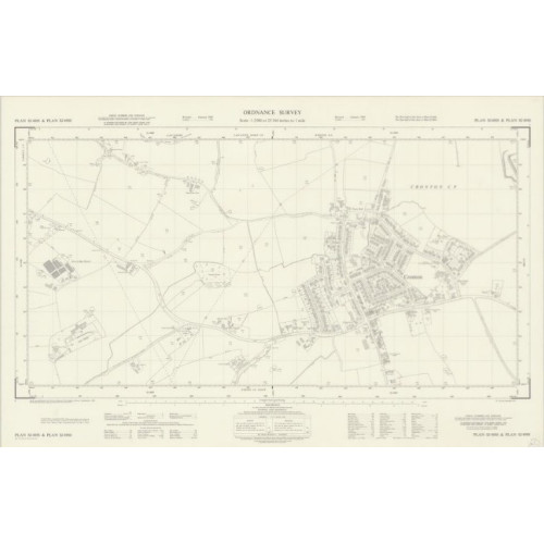
Ordnance Survey double map plans 1:2500 scale
We have acquired a large set of Ordnance Survey maps, scale 1:2500, dates in the 1960's, Staffordshire.
Loads of maps will appear here soon, but please contact us if you are looking for a specific map(s) and we will check stock.
We have listed the maps by Plan reference and added the local town/village to the description. If you want to check what the map covers, please go to the National Library of Scotland https://maps.nls.uk/os/national-grid/sj-sk.html where you can view the actual map.
Any damage to the maps is described in the Plan reference detail. Maps will have a code as a general guide to condition...
Poor - Creases/tears, or parts of map missing
G - Good, may have some small tears or creases to edges, also some maps have an additional reference written in red top left corner
VG - Very Good condition
EG - Extremely Good condition, almost as new
There is a single charge of £6.70 for UK delivery regardless of how many maps you order. Maps will be rolled and delivered in a strong cardboard tube 2nd class Royal Mail. Note UK delivery only.
You can opt to collect the maps from the shop address in Dickens Heath, Solihull, this is a private house, so please arrange a time for collection.
Discounts for bulk purchases, please contact us for details.
Please contact us if you need any further information on 0121 236 8977 option 1, please leave a voicemail message if no reply and we will get back to you, usually in the evening.
Ordnance Survey double map plans 1:2500 scale - Staffordshire - 1st batch - Used
- Brand: 2nd Hand
- Product Code: USEDSEFOSMAPS2500STS-1
- Availability: 500
-
£0.00