Maps

Halesowen (East) 1913 - Old Ordnance Survey Maps - The Godfrey Edition
Worcestershire Sheet 5.13 Halesowen (East) 1913 - published 1999; introduction by John Mad..
£3.50
Hall Green 1903 - Old Ordnance Survey Maps - The Godfrey Edition
Worcestershire Sheet 11.02 Hall Green 1903 - published 1997; introduction by John Maddison..
£3.50
Halmer End & Alsagers Bank 1922 - Old Ordnance Survey Maps - The Godfrey Edition
Staffordshire Sheet 11.10 Halmer End & Alsagers Bank 1922 - published 2023; intro by Barrie Trin..
£3.50
Hamstead 1913 - Old Ordnance Survey Maps - The Godfrey Edition
Staffordshire 68.08 Hamstead 1913 - published 2012; intro by Alan Godfrey This detailed..
£3.50
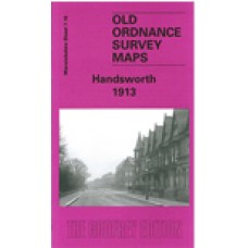
Handsworth 1913 - Old Ordnance Survey Maps - The Godfrey Edition
Warwickshire Sheet 7.16 Handsworth 1913 - published 2002; introduction by Alan Godfrey This detai..
£3.50
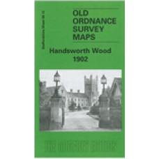
Handsworth Wood 1902 - Old Ordnance Survey Maps - The Godfrey Edition
Staffordshire Sheet 68.12 Handsworth Wood 1902 - published 2002; introduction by Alan Godf..
£3.50
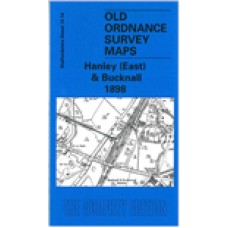
Hanley (East) and Bucknall 1898 - Old Ordnance Survey Maps - The Godfrey Edition
Staffordshire Sheet 12.14 Hanley (East) & Bucknall 1898 - published 2003; introduction..
£3.50
Hanley and Etruria 1898 - Old Ordnance Survey Maps - The Godfrey Edition
Staffordshire Sheet 12.13 Hanley & Etruria 1898 - published 2008; introduction by Alan..
£3.50
Hanley and Etruria 1923 - Old Ordnance Survey Maps - The Godfrey Edition
Here are the details of maps for Hanley:Sheet 12.13a Hanley & Etruria 1877 - published 2011; int..
£3.50
Hanley SE (Joiner's Square & Berry Hill) 1898 - Old Ordnance Survey Maps - The Godfrey Edition
Staffordshire Sheet 18.02 Hanley SE (Joiner's Square & Berry Hill) 1898 - published 2018; intro ..
£3.50
Harborne (South) 1901 - Old Ordnance Survey Maps - The Godfrey Edition
Warwickshire Sheet 13.15 Harborne (South) 1901 - published 2009; introduction by Malcolm Nixon Th..
£3.50
Harborne 1914 - Old Ordnance Survey Maps - The Godfrey Edition
Here are the details of maps for Harborne:Warwicks Sheet 13.11a Harborne 1901 - published 1989; intr..
£3.50
Harborne 1938 - Old Ordnance Survey Maps - The Godfrey Edition
Here are the details of maps for Harborne:Warwicks Sheet 13.11a Harborne 1901 - published 1989; intr..
£3.50
Keele (North) 1898 - Old Ordnance Survey Maps - The Godfrey Edition
Staffordshire Sheet 17.02 Keele (North) 1898 - published 2023; intro by Barrie Trinder. ISBN.978-1-7..
£3.50
Kenilworth 1903 - Old Ordnance Survey Maps - The Godfrey Edition
Warwickshire Sheet 26.10 Kenilworth 1903 - published 2013; intro by Malcolm Nixon. ISBN.978-1-84784-..
£3.50
Kingswinford 1901 - Old Ordnance Survey Maps - The Godfrey Edition
Staffordshire Sheet 71.01 Kingswinford 1901 - published 1999; introduction by Stan Hill ..
£3.50
Langley and Londonderry 1902 - Old Ordnance Survey Maps - The Godfrey Edition
Here are the details of maps for Langley Green:Worcs Sheet 5.02 Langley & Londonderry 1902 - pub..
£3.50
Langley Green & South Oldbury 1914 - Old Ordnance Survey Maps - The Godfrey Edition
Here are the details of maps for Langley Green:Worcs Sheet 5.02 Langley & Londonderry 1902 - pub..
£3.50
Langley Green & South Oldbury 1938 - Old Ordnance Survey Maps - The Godfrey Edition
Here are the details of maps for Langley Green:Worcs Sheet 5.02 Langley & Londonderry 1902 - pub..
£3.50
Leamington Spa (South) 1923 - Old Ordnance Survey Maps - The Godfrey Edition
Warwickshire Sheet 33.15 Leamington Spa (South) 1923 - published 2003; introduction by Bar..
£3.50

